

Latest Version
Version
2.6
2.6
Update
May 17, 2025
May 17, 2025
Developer
Platypii Industries, LLC
Platypii Industries, LLC
Categories
Tools
Tools
Platforms
Android
Android
Downloads
0
0
License
Free
Free
Package Name
com.platypii.asr
com.platypii.asr
Report
Report a Problem
Report a Problem
More About Antenna Map
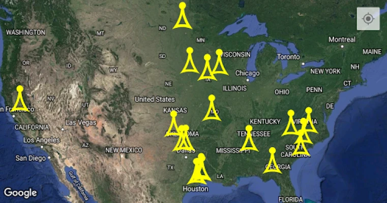
Map the antennas in an area.
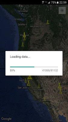
Displays the 20 tallest antennas in the current map view. Zoom in to see smaller antennas. Tap to get height information. Tap again to visit the antenna registration page.
Data comes from the publicly available FCC Antenna Structure Registration (ASR) database.
Web version: https://baseline.ws/antennas
USA and Canada Only
Data comes from the publicly available FCC Antenna Structure Registration (ASR) database.
Web version: https://baseline.ws/antennas
USA and Canada Only
Rate the App
Add Comment & Review
User Reviews
Based on 0 reviews
No reviews added yet.
Comments will not be approved to be posted if they are SPAM, abusive, off-topic, use profanity, contain a personal attack, or promote hate of any kind.


More »

Popular Apps

Sullivan'sOLO

Winegard – TV Signal FinderWinegard

Aerial TV - DVB-T receiverSignalware Ltd

Glasses Photo EditorHairstyle Photo Apps

Game of WarriorsPlay365

SlackSLACK TECHNOLOGIES L.L.C.

Save the MastersPlaygendary Limited

Caliber Strength TrainingCaliber Fitness

AntennaPict βポカリ

Breaker Box - Panel ToolBrett Pappas
More »
Editor's Choice

Ag PhD Planting Population CalAg PhD

Flo Ovulation & Period TrackerFlo Health Inc.

BVU AuthorityCentral Service Association

MEGAMega Ltd

Sorry! World - Board gameGameberry Labs

Realm of the ImmortalAmusingGame

Gender Equality - offline learStudents Apps

Affirm: Buy now, pay over timeAffirm, Inc

Fred MeyerThe Kroger Co.

Bole Diameter MeasurementForest Monitoring Tools